
This site is also available on:
![]() Deutsch
Deutsch
How healthy is our soil? A comprehensive study in Puch near Munich
The question of soil health and the early detection of changes is becoming increasingly important in light of global change. The German Aerospace Center (DLR), together with other renowned research institutions, conducted an intensive measurement campaign in the agricultural region of Puch near Munich in spring and summer 2025. This campaign, called CROPEX25, aimed to record the condition of the soil and vegetation in detail over an entire vegetation cycle. Cutting-edge technologies such as research aircraft equipped with radar and camera systems and ground-level measurements were used.
Objective of CROPEX25: Preparation for future Earth observation missions
CROPEX25 is part of a larger preparatory phase for the European Copernicus Earth observation missions ROSE-L and CHIME, which are scheduled to launch in the coming years. The data obtained will help support agriculture from space even more precisely by providing global information on soil moisture, biomass, and vegetation cover. The campaign was coordinated by the DLR Microwaves and Radar Institute, supported by the European Space Agency (ESA) and scientific partners such as the Ludwig Maximilian University of Munich (LMU) and the Helmholtz Centre for Geosciences (GFZ).
At the same time, the DLR Earth Observation Center (EOC) created hyperspectral images using its in-house camera system HySpex, supplemented by weekly drone flights and spectral ground and atmospheric measurements.
Advanced aircraft measurements with F-SAR: Insights into the ground from four frequency ranges
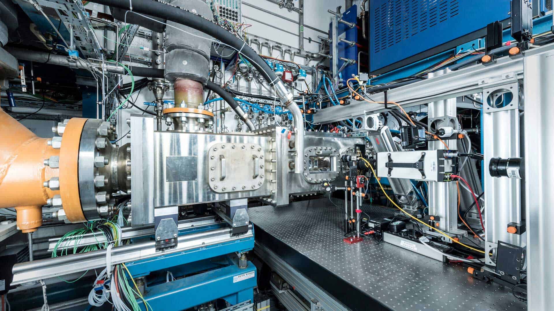
The centerpiece of the aerial observations was the state-of-the-art F-SAR airborne radar system from the DLR Microwaves and Radar Institute. It enabled repetition every six days, thus collecting data in sync with scheduled ROSE-L satellite overflights—a satellite system currently scheduled for launch in early 2029.
F-SAR recorded unique data sets worldwide by operating simultaneously in four different frequency bands: X-, C-, S-, and L-band. The researchers conducted a total of 23 measurement flights, including timed overflights in the morning, midday, and evening on selected days. This methodology made it possible to precisely map daily changes in soil moisture balance or plant condition.
Data acquisition was carried out using innovative imaging techniques such as polarimetry (for analyzing different polarization states), interferometry (for altitude information), and tomography (for three-dimensional structures). Experienced DLR test pilots flew along predetermined paths with meter-precision – supported by satellite-based navigation systems integrated into the F-SAR system.
To support this, ground-level measurement data was collected in parallel: A team from LMU recorded parameters such as soil moisture, surface roughness, plant water content and plant biomass directly on site – essential for validating the remote sensing data.
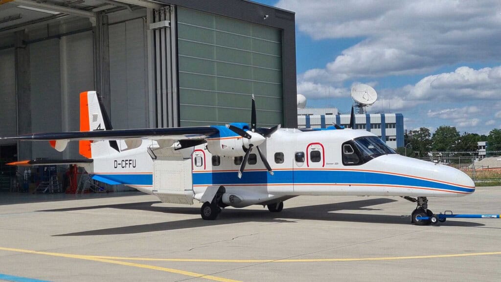
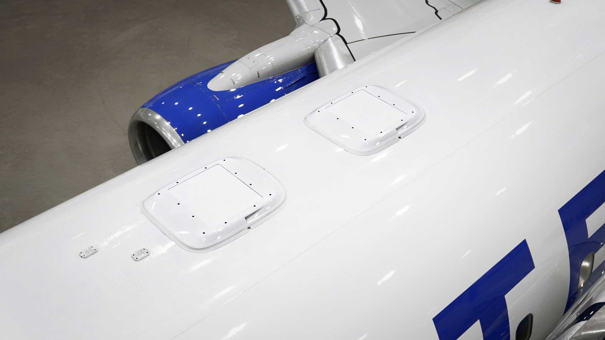
The specially modified Dornier Do228-212 research aircraft served as the carrier platform for the radar team; it is operated by the DLR Flight Experiments facility in Oberpfaffenhofen.
In-depth insights thanks to interdisciplinary data fusion on the ground and from the air
In addition to the F-SAR deployment, GFZ scientists took numerous soil samples for detailed analysis of their organic and mineral composition. This information allows conclusions to be drawn about fertility and potential risks such as erosion or nutrient loss.
Another special highlight was the integration of a special ESA scatterometer into a wheat field. This instrument continuously measures automated changes in plant structure—a valuable tool for detecting stress factors or growth trends.
Researchers also utilized various multi- and hyperspectral sensor systems from the DLR Earth Observation Center. The Cessna 208B Grand Caravan research aircraft, for example, carried the HySpex camera system, which produces high-resolution hyperspectral images. These serve as an important comparative data base for existing satellite missions such as Sentinel-2 (ESA), EnMAP (Germany), DESIS (Germany/USA), and PRISMA (Italy).
These hyperspectral data can be used to derive crucial biophysical parameters, including above-ground biomass stocks, percentage of vegetation cover, and local soil moisture levels – key variables for environmental monitoring and sustainable agriculture.
With the knowledge gained, specialists at DLR are also developing new evaluation methods specifically for optimizing future satellite missions such as CHIME.
Selection of the test area: Agricultural diversity around Puch near Munich
The study area was a typically agricultural region near Munich, located around the town of Puch. It is characterized by several small villages nestled in forested areas; notably, more than 80 percent of the area is agricultural.
Within this area, research teams identified 15 different fields with diverse crop species as representative experimental fields. This ensures a broad data base regarding different cultivation methods and plant typologies.
Most of the land belongs to the Bavarian State Estates – an enterprise of the Free State of Bavaria – which kindly gave their consent to the extensive data collection.
Interdisciplinary cooperation as the key to success in environmental research
The CROPEX25 campaign demonstrates the importance of close collaboration between diverse disciplines in complex environmental research:
- radar technician,
- biologists,
- geoscientist,
- remote sensing experts,
pooled their expertise to generate a detailed overall picture of the condition of soils and plants. Innovative analyses are creating new tools for the early detection of ecological risks and the promotion of sustainable land management concepts worldwide.
Future prospects: High-performance satellite technologies to meet global challenges
In view of accelerating climate change, there is a great need for powerful earth observation systems: they should enable accurate documentation of agricultural fields and be able to provide continuous information on plant health status.
The successful implementation of CROPEX25 represents a milestone in the preparation of new environmental satellites – the foundation for precise global Earth observation. This will contribute significantly to ensuring the long-term sustainable use of natural resources and addressing challenges more efficiently. This forward-looking initiative establishes innovative technologies and scientific expertise as the foundation for intelligent agriculture and environmental management.
This might interest you:
 United Airlines brings Starlink internet on board (United Airlines brings Starlink internet on board)
 Sustainability in aviation: SAF research on climate reduction (Sustainability in aviation: SAF research on climate reduction)
 Starlink Wi-Fi on United Airlines: Revolutionary Internet connection on board (Starlink Wi-Fi on United Airlines: Revolutionary Internet connection on board)
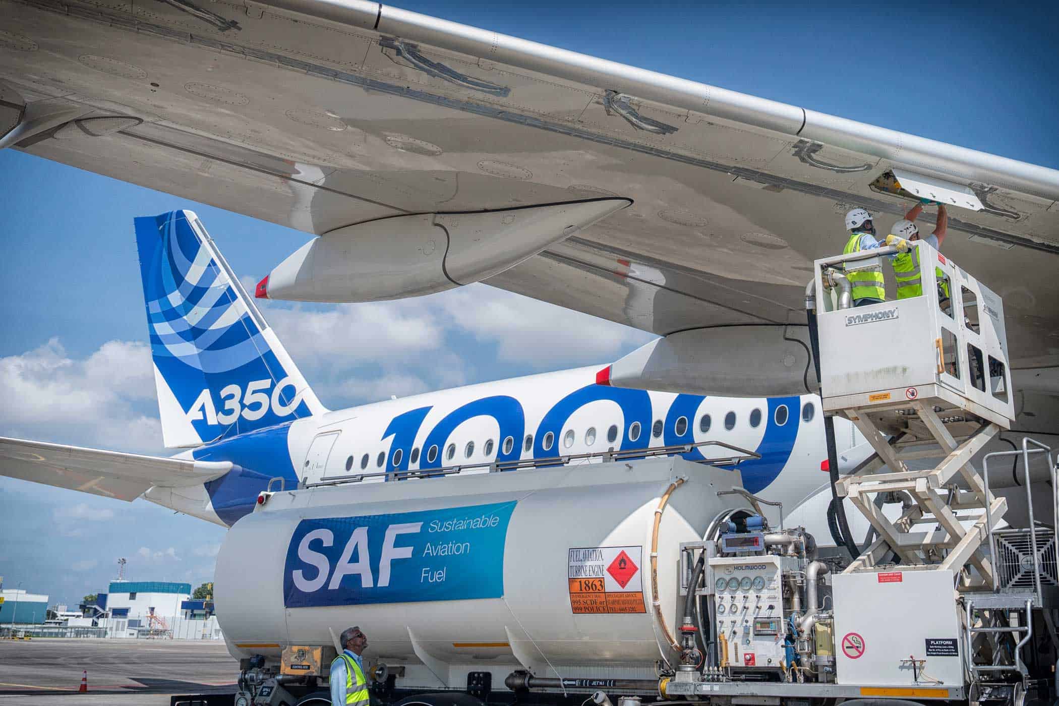 SAF distribution: Airbus promotes sustainable aviation fuel (SAF distribution: Airbus promotes sustainable aviation fuel)
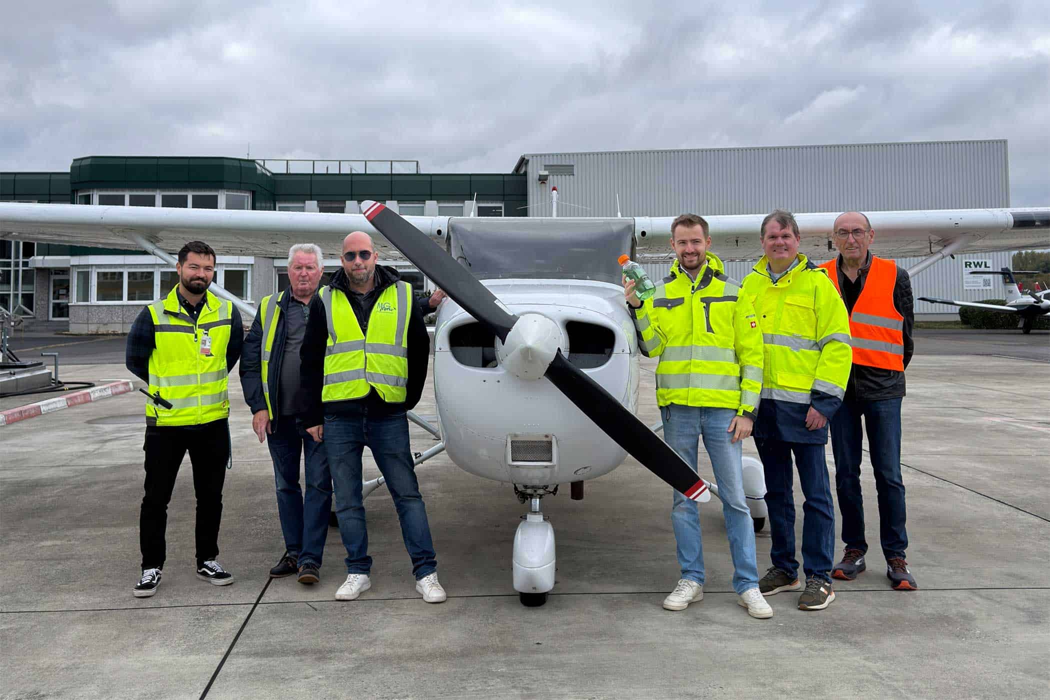 New aviation fuel Swift 100R at Mönchengladbach Airport (New aviation fuel Swift 100R at Mönchengladbach Airport)
 Lufthansa integrates Apple AirTag for baggage tracking (Lufthansa integrates Apple AirTag for baggage tracking)
 Weitere NEWS:
Flybots initiative by DLR and TU Braunschweig: Prototypes in a safe cage (21.10.2025)
New aviation fuel Swift 100R at Mönchengladbach Airport (22.10.2025)
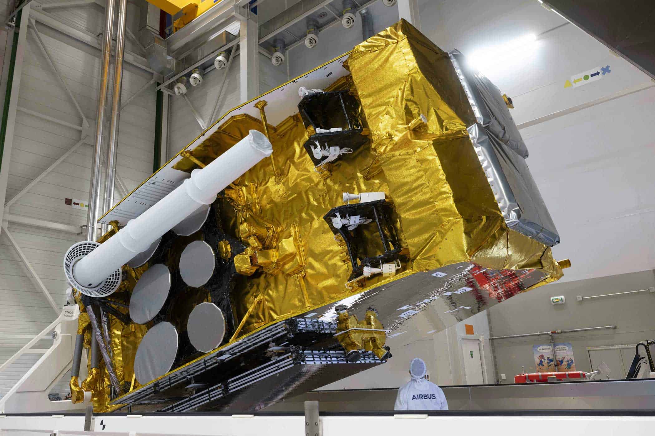
Europe’s communications satellite SpainSat NG-II launched for Spain (24.10.2025)
Christoph Niedersachsen: 30 years of modern air rescue in Hanover (20.10.2025)
Ariane 6 engine production to be located in Lampoldshausen (24.10.2025)
Air France and KLM winter schedule: More long-haul and Germany flights (21.10.2025)


