This site is also available on:
Deutsch
METimage: Revolutionary multispectral camera improves weather and climate forecasts worldwide
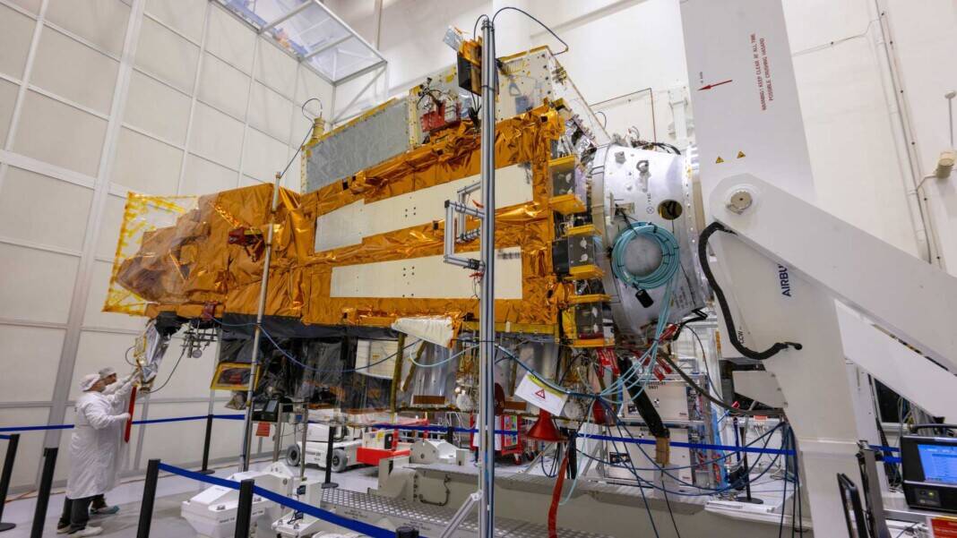
On August 13, 2025, at 2:37 a.m. CEST, the European weather satellite Metop-SGA1 will launch from Kourou into low Earth orbit aboard an Ariane 6 launch vehicle. On board is the state-of-the-art METimage instrument, a multispectral camera with the potential to fundamentally improve meteorological satellite observations. The camera will scan a 2,560-kilometer-wide strip of ground every 1.7 seconds with a resolution of 500 meters, thus capturing the entire Earth’s surface every twelve hours. This will enable more precise measurements of clouds, water vapor, aerosols, surface temperatures, ice cover, vegetation, and fires, which in turn will significantly improve weather forecasts for Europe and the entire world.
Milestone in satellite observation
The METimage camera was coordinated by the German Aerospace Center (DLR) on behalf of the German Space Agency and funded and developed jointly with EUMETSAT, the Federal Ministry of Transport, Building and Digital Infrastructure, and Airbus Defence and Space Germany. With 20 different spectral channels in the visible and infrared ranges and its very high spatial resolution, METimage far surpasses current instruments and represents a significant advance in remote sensing.
The measurement is performed in a wavelength range from 443 nanometers to 13,345 micrometers. This includes the visible and near-infrared, as well as the thermal infrared range. The ability to operate in these spectral ranges – especially at very low temperatures below minus 200 degrees Celsius – requires innovative cooling technologies and extremely precise detector calibration.
Technical innovations and measurement accuracy
Rotating-mirror technology allows METimage to capture wide swathes of the Earth every second, moving synchronously with the Earth’s rotation so that each area is completely imaged approximately twice a day. The Metop-SGA1 satellite platform orbits the Earth at an altitude of approximately 830 kilometers in near-polar orbits, which is optimal for global observations.
The high spatial resolution of 500 meters enables weather phenomena and environmental parameters to be recorded much more precisely than before. For example, METimage enables precise measurements of cloud structures, aerosol concentrations, and surface temperatures, providing improved input for numerical weather models. The real-time detection of vegetation conditions and fire sources is also optimized, which is of great importance for disaster management and environmental monitoring.
Cooperation and development: A European success story
The construction of METimage was led by Airbus Defence and Space Deutschland as prime contractor, with over 50 subcontractors from various disciplines involved. This broad collaboration across industry and research demonstrates the high value and commitment that Germany and Europe place on meteorological satellite research.
DLR coordinated technological development, quality assurance, and testing to ensure the highest standards for use in space. A key aspect was the calibration of the sensors prior to launch to ensure the reliable, robust, and long-lasting measurements.
Impact on weather forecasting and climate protection
METimage’s data will enable meteorologists to predict weather events more reliably and further in advance. Improved models will lead to greater accuracy in storm warnings, precipitation forecasts, and heat or cold spells. This impacts not only the daily lives of the population, but also agriculture, transport, the energy industry, and disaster management.
At the climatic level, the data-rich, high-resolution measurements of clouds, aerosols, surface temperatures, and vegetation enable a better understanding of the complex interactions within the Earth system. They support long-term observations and contribute to climate protection by providing a basis for decision-making for political and societal measures.
Outlook: METimage as a pioneer for future missions
The Metop-SGA1 satellite, with its METimage multispectral camera, represents the first milestone in a new generation of meteorological Earth observation satellites. EUMETSAT plans to continuously develop the technology and deploy it in future missions to ensure data continuity and further improve forecast models.
The successful launch and operation of METimage is also a testament to the strong role played by Germany and Europe in the global space and weather observation landscape. The project is distinguished by its combination of innovative technology, close international cooperation, and high-quality development.
Summary of METimage
- METimage is a high-resolution multispectral camera on board the Metop-SGA1 satellite, which will be launched in August 2025.
- The instrument surveys the entire Earth’s surface every twelve hours and provides data in 20 spectral channels from visible light to far infrared.
- The precise measurements make weather forecasts up to ten days in advance significantly more reliable.
- The camera was developed by Airbus Defence and Space Deutschland with over 50 partners, coordinated by DLR.
- METimage supports both meteorological and climatic applications and promotes the use of German cutting-edge technology in the European space program.
METimage sets standards for Earth observation in the 21st century – a groundbreaking mission that not only revolutionizes weather forecasting but also makes a decisive contribution to climate protection and the sustainable use of the Earth.

 Copernicus Sentinel-6: New satellite monitors sea level rise (Copernicus Sentinel-6: New satellite monitors sea level rise)
 Boeing delivers next-generation O3b mPOWER satellites to SES (Boeing delivers next-generation O3b mPOWER satellites to SES)
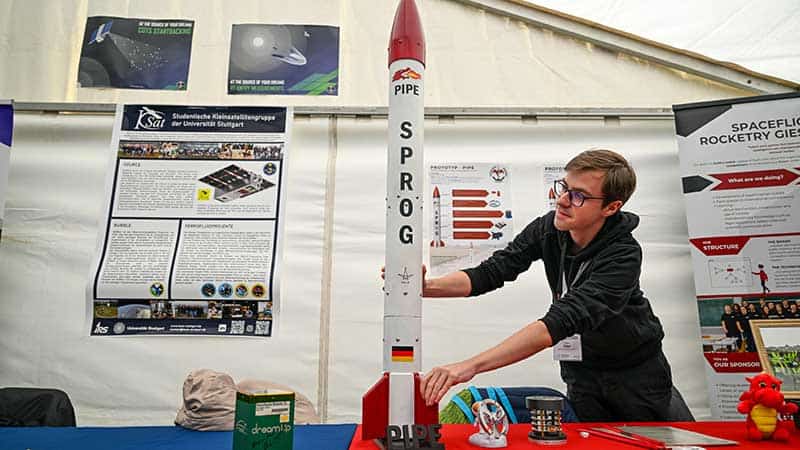 Wacken Open Air: Interstellar meeting place for space enthusiasts (Wacken Open Air: Interstellar meeting place for space enthusiasts)
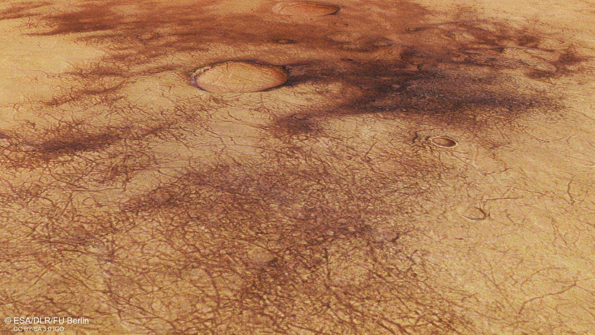 Strong Martian winds and dust devils: Insights thanks to deep learning and camera technology (Strong Martian winds and dust devils: Insights thanks to deep learning and camera technology)
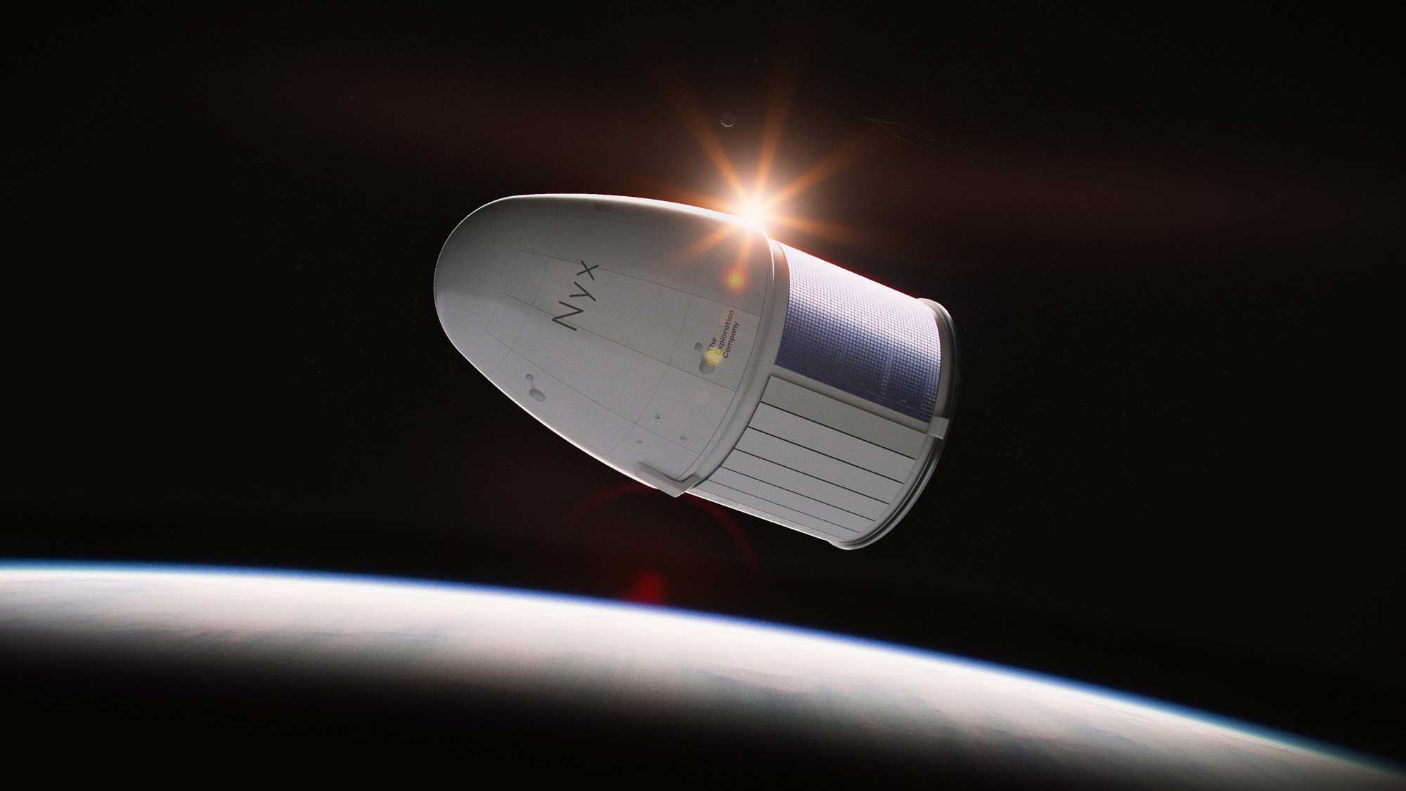 Space research: DLR buys flights on the “Nyx” space capsule (Space research: DLR buys flights on the “Nyx” space capsule)
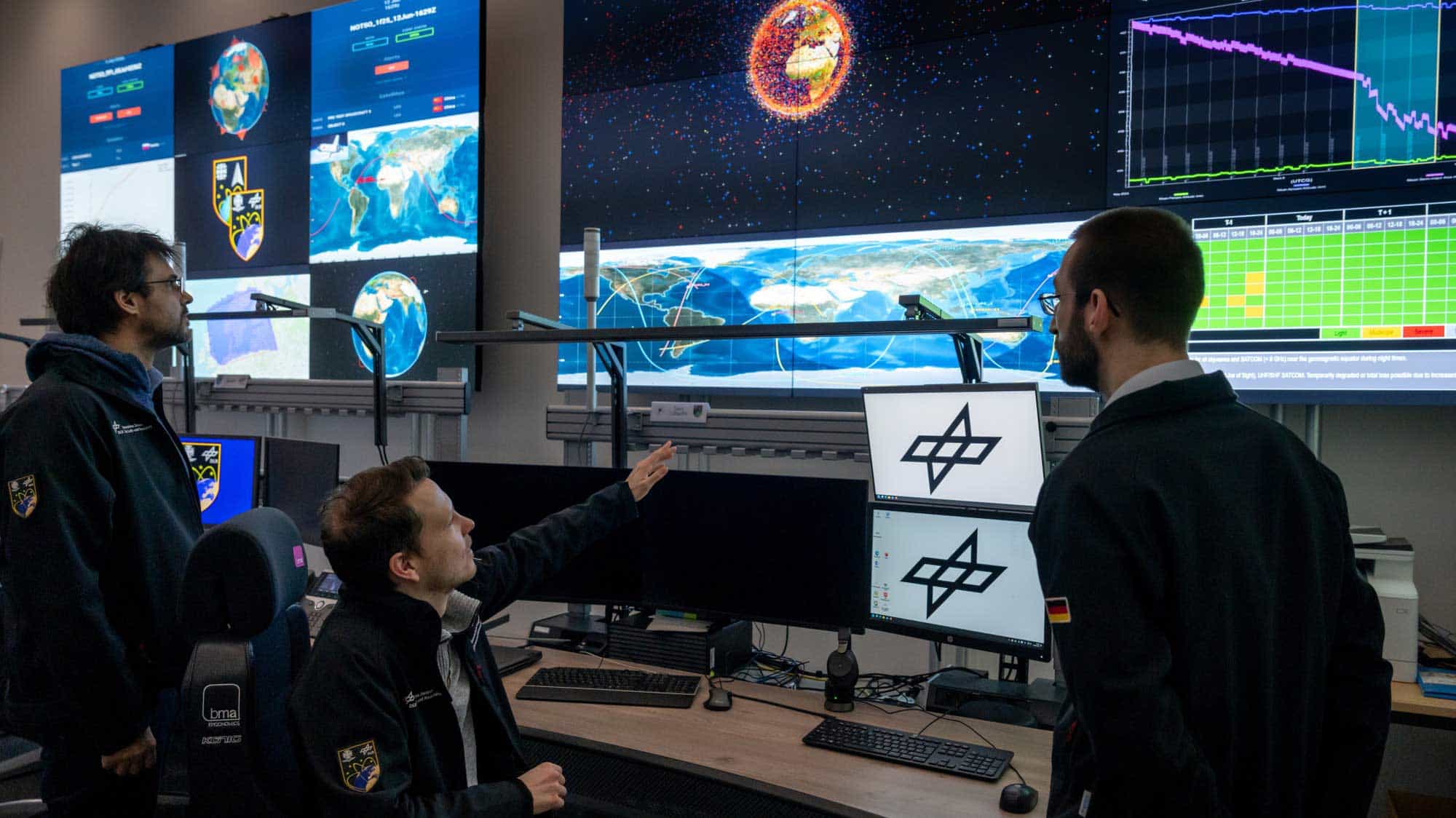 Safety in orbit: DLR & Bundeswehr use Uedem Space Situational Awareness Center (Safety in orbit: DLR & Bundeswehr use Uedem Space Situational Awareness Center)