This site is also available on:
Deutsch
Copernicus Sentinel-6: A new milestone in ocean monitoring
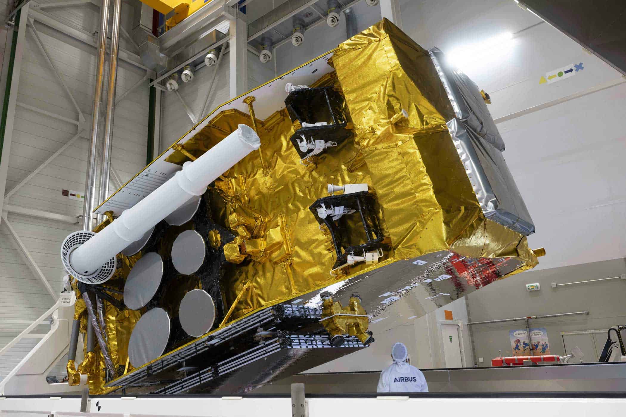
Monitoring Earth‘s rising sea levels is receiving a significant boost. Airbus, prime contractor for the Copernicus Sentinel-6 missions, has confirmed that the second satellite in this important series is en route to the launch site in Vandenberg, California. Launch is scheduled for November 2025.
Continuation of a successful mission
The new Sentinel-6 satellite builds on the successes of its predecessor, Sentinel-6 Michael Freilich, launched in November 2020. This follow-on mission will ensure a continuous supply of high-precision ocean topography data for the next six years. The mission will precisely measure the ocean surface and record sea level changes with centimeter-level precision, repeating its global survey every ten days.
Important data for climate protection
The data provided by Sentinel-6 are essential for understanding and predicting the impacts of climate change on our oceans. These precise measurements provide scientists and decision-makers with crucial insights into global sea level rise, ocean conditions, wind speeds, and current dynamics. Furthermore, the mission provides information on heat storage in the world’s oceans.
These findings enable governments and institutions around the world to plan and implement protective measures for particularly vulnerable coastal regions. The mission data also supports a wide range of applications, from urban planning to disaster preparedness.
The urgent context: rising sea levels
With global sea levels rising by more than four millimeters per year, the Copernicus Sentinel-6 mission provides essential information to address this challenge. The mission is a central element of the European Copernicus program and symbolizes an outstanding international collaboration between ESA (European Space Agency), NASA (National Aeronautics and Space Administration), EUMETSAT (European Meteorological Service), and NOAA (National Oceanic and Atmospheric Administration), with support from CNES (French Space Agency).
Technical highlights of the new mission
The second Sentinel-6 satellite weighs approximately 1.5 tons and is equipped with a state-of-the-art radar altimeter—an instrument for measuring ocean topography using radar technology. This is complemented by an advanced microwave radiometer for precise correction of atmospheric disturbances in the measurements.
Since satellite-based ocean measurements began in 1992, this technology has set standards in terms of accuracy and continuity.
After launch, the new satellite will orbit alongside its predecessor for approximately one year—a tandem flight that allows for precise cross-calibration of both instruments. This ensures maximum accuracy and guarantees consistent data sets over the long term.
Importance of Copernicus for Europe and the world
Copernicus, the European Union‘s Earth observation program, continuously provides free, reliable environmental information – accessible to public bodies, companies, and private individuals worldwide.
The aim is, among other things, to be able to detect environmental changes at an early stage and respond to them – be it climate change, natural disasters or other global challenges.
The program is managed by the European Commission; funding is provided jointly by EU Member States and ESA. The European Space Agency is responsible for the coordination, development, and operation of certain spacecraft within the program.
Conclusion
With the upcoming launch of the second Copernicus Sentinel-6 satellite, Europe continues its leading role in ocean research. Thanks to state-of-the-art technology, this project will provide essential data for measures to combat the impacts of climate change in coastal regions around the world.
This international cooperation not only strengthens our understanding of planet Earth – it also makes a direct contribution to protecting future generations from the risks of rising sea levels.

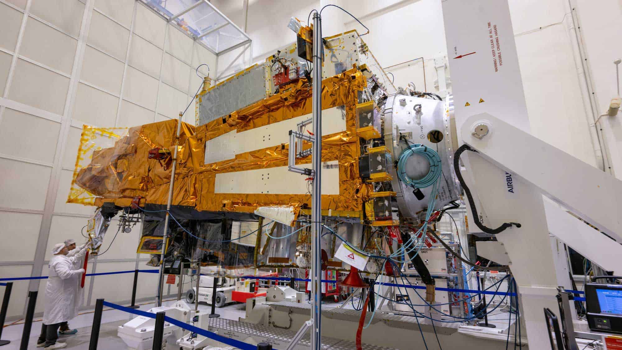 METimage: Cutting-edge technology for precise weather forecasting in space (METimage: Cutting-edge technology for precise weather forecasting in space)
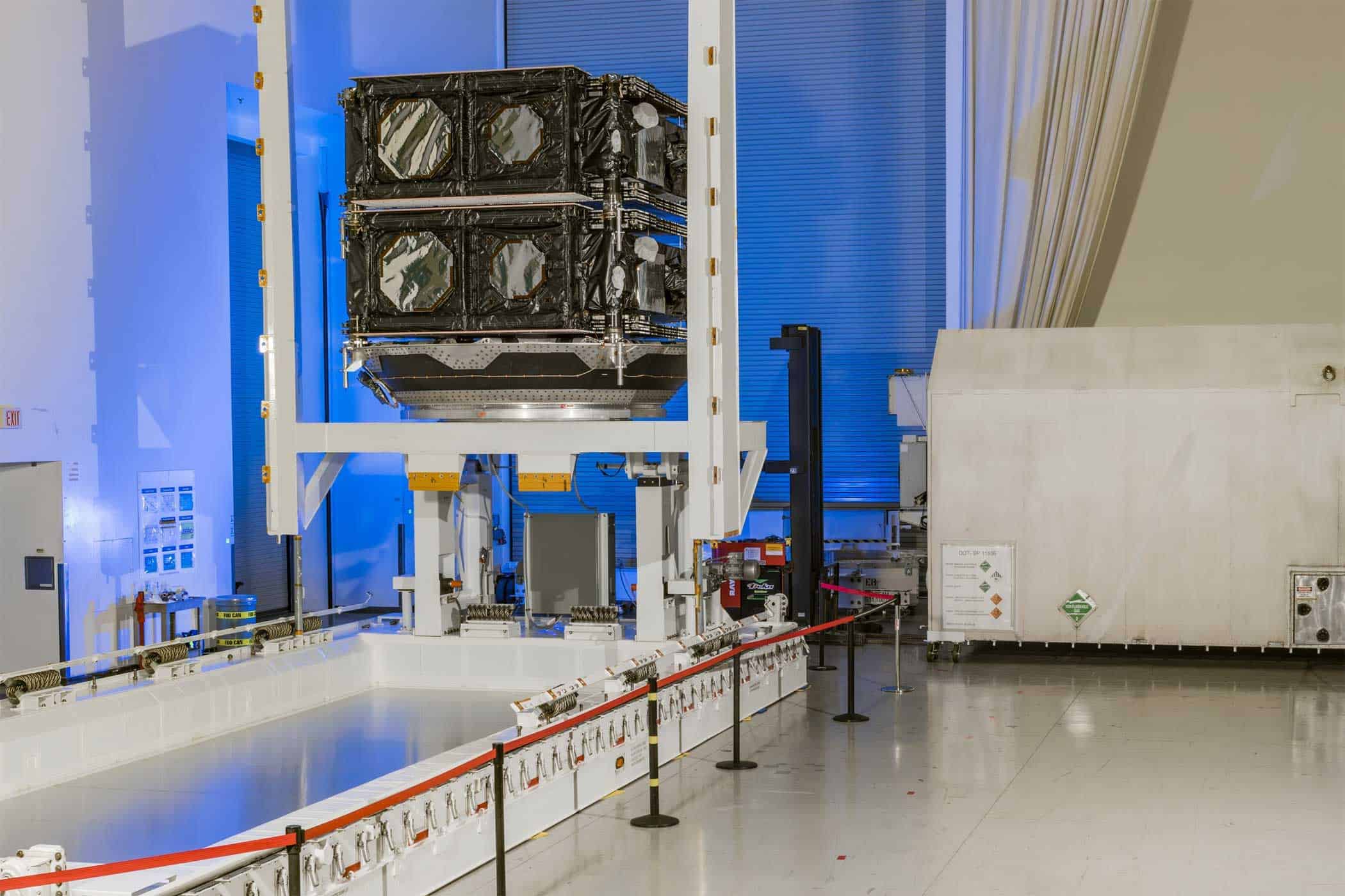 Boeing delivers next-generation O3b mPOWER satellites to SES (Boeing delivers next-generation O3b mPOWER satellites to SES)
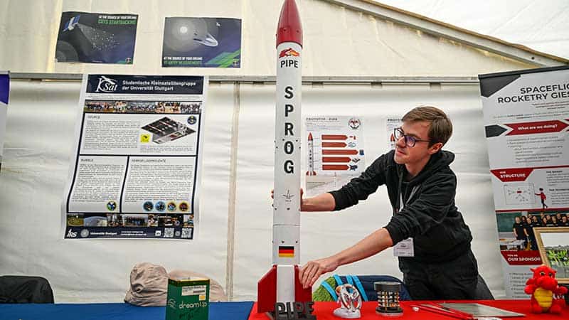 Wacken Open Air: Interstellar meeting place for space enthusiasts (Wacken Open Air: Interstellar meeting place for space enthusiasts)
 Strong Martian winds and dust devils: Insights thanks to deep learning and camera technology (Strong Martian winds and dust devils: Insights thanks to deep learning and camera technology)
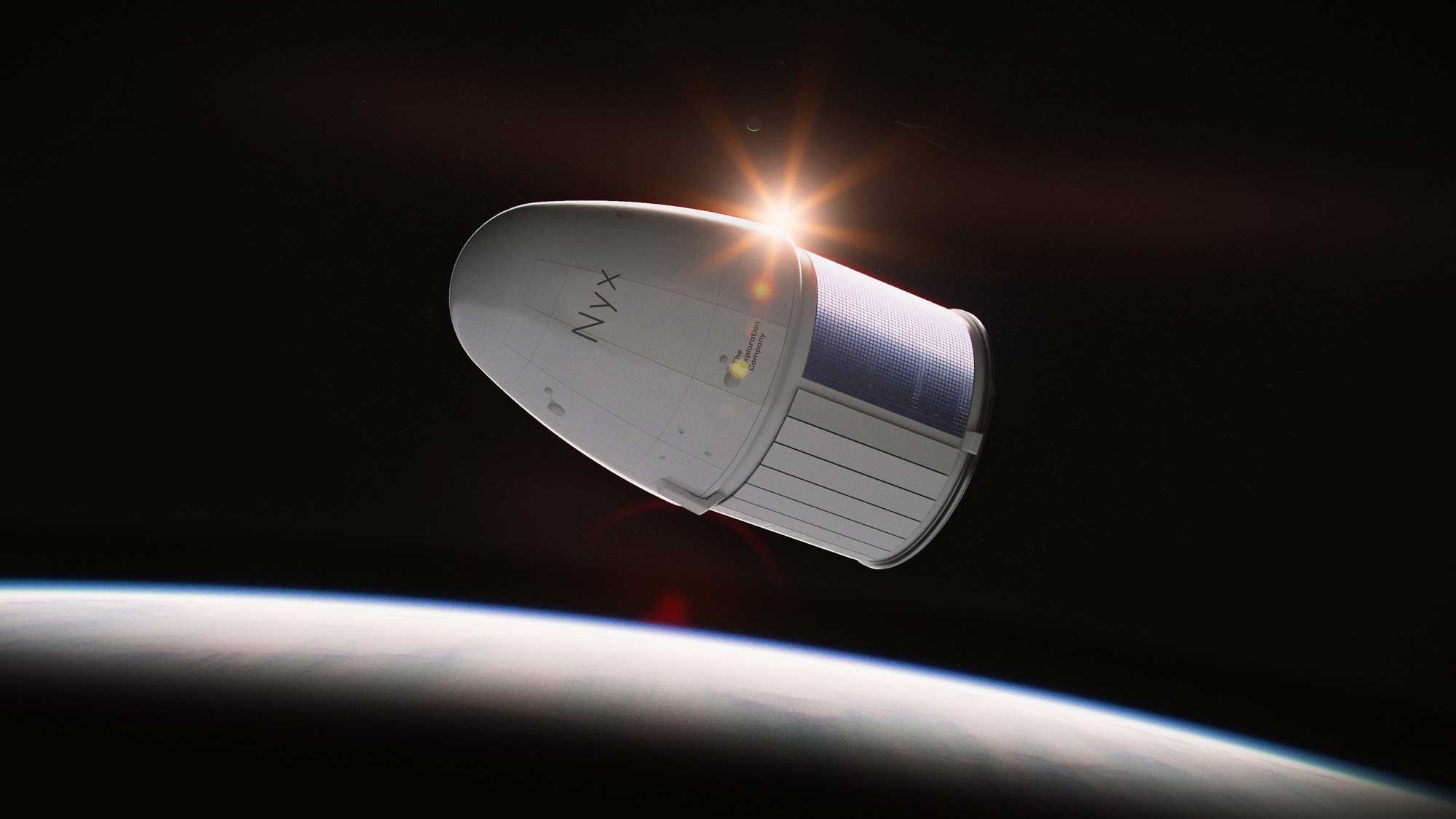 Space research: DLR buys flights on the “Nyx” space capsule (Space research: DLR buys flights on the “Nyx” space capsule)
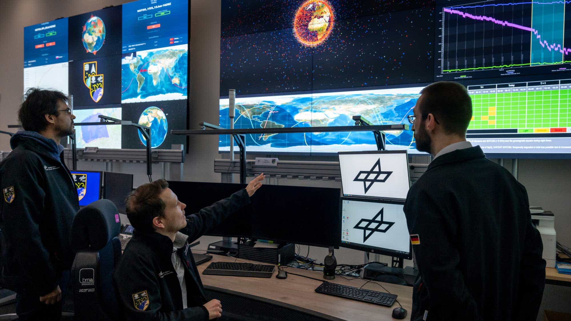 Safety in orbit: DLR & Bundeswehr use Uedem Space Situational Awareness Center (Safety in orbit: DLR & Bundeswehr use Uedem Space Situational Awareness Center)